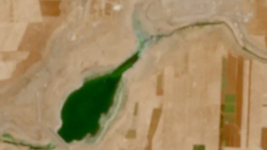
Water level changes observed in Daraa dams via satellite imagery
Satellite images reveal rapid changes in the water surfaces of three dams in the Daraa governorate, southern Syria.
Background
Syria has faced a prolonged conflict since 2011, leading to widespread infrastructure damage and displacement. Water resources are a critical concern, exacerbated by climate change and regional water management challenges. Various international and local actors are involved in humanitarian aid and reconstruction efforts.
Quorum · collective opinions
Water Level Changes in Daraa Dams Detected by Satellite
First report 2h agoLast update 2h agoSatellite images show significant and rapid changes in the water levels of dams in Daraa, indicating environmental shifts.
Water level changes observed in Daraa dams via satellite imagery
First report 2h agoLast update 2h agoPosts report on environmental observations, specifically changes in water levels at dams in Daraa.
Water Level Changes in Daraa Dams, Syria
First report 2h agoLast update 2h agoPosts report on the observed changes in water levels at dams in Daraa, Syria, based on satellite imagery.
iWitness comments
No comments yet — be the first to weigh in.